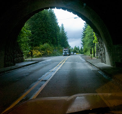
 Leaving Portland on U.S. Route 26, the Sunset Highway towards the Pacific. Emerging from the tunnel while traveling through the Tillamook and Clatsop State Forests and encountering lumber trucks.
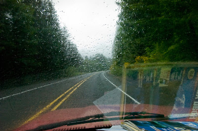 Experiencing the Pacific Northwest weather, but for only a few miles.
 Looking northeast from a Sunset Highway overlook across an area of forest that has been clear-cut with snow capped mountains in the distance.
 Small Presbyterian Chapel near Cannon Beach, where U.S. Route 26 joins U.S. 101, the Oregon Coast Highway.
 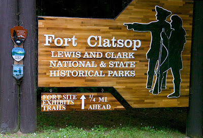 One of several Lewis and Clark sites along the Pacific coast close to mouth of the Columbia River; this site is on the Lewis and Clark River just above Youngs Bay, at Astoria.
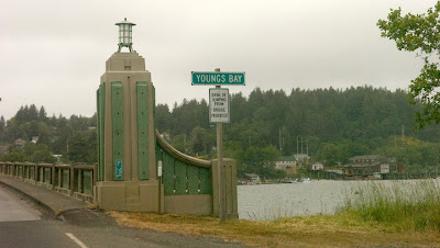
Washington State
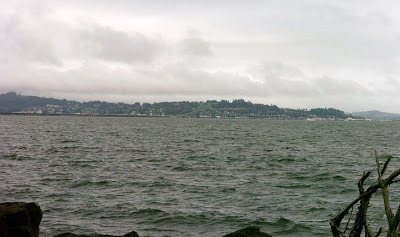 The Columbia River estuary from the Washington State side, looking back south at Astoria, Oregon.
 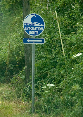 A Tsunami warning sign in the low-lying town of Chinook, Wash.
  Pacific Ocean
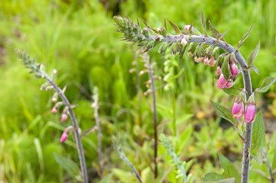
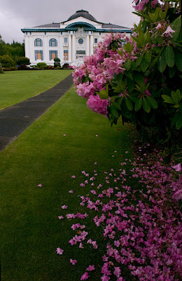 Pacific County Courthouse in South Bend, Washington
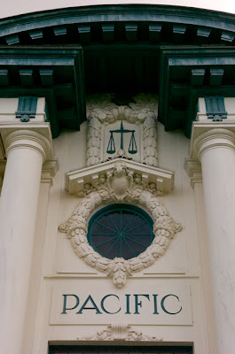
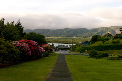 Looking down Memorial Dr. toward Willapa River from the front of the courthouse.
A worker on renovation project hand shaves a window molding, on the almost 100-year-old Pacific County Courthouse.
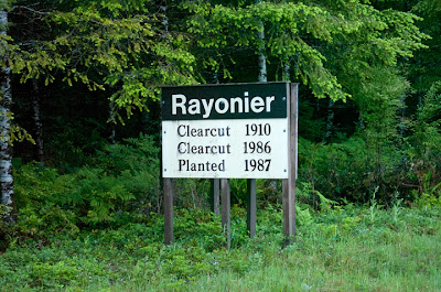 A forest company sign indicating dates and replanting of when lumber is cultivated.
 Last light on the pacific.
 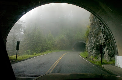 Triple tunnel on the road to Hurricane Ridge Visitor Center.
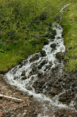 Snowmelt fed stream on 6,454-foot Mount Angles.
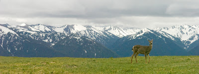 A mule deer grazing at an alpine pasture on Hurricane Ridge in Olympus National Park, with the Olympic range of mountains to the south.
 Overlooking the Straight of Juan De Fuca from Olympic National Park north towards Victoria, Canada.
No comments:
Post a Comment