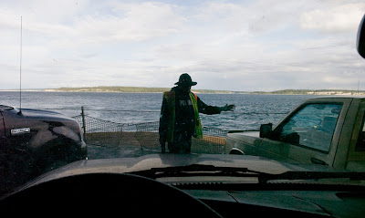
 A Washington State Ferries boat hand, on the Whidbey Island ferry spots a vehicle while loading at Port Townsend for a 30-minute trip across the Straight of Juan De Fuca to Keystone.
 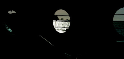 Approaching Whidbey Island on the ferry.
 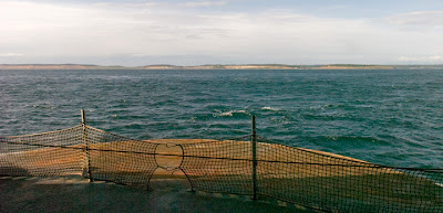 The tide and wind affect the direction of boats course. The Captain steered directly towards the island. Within the last, approximately, half mile from land, the strong current took the vessel east at a rapid rate and around a spit of land to the dock, that hadn’t been seen until the last half mile of the trip.
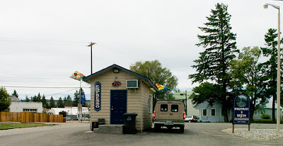 I skirted Seattle and took U.S. Route 2 eastward. Seattle is the home of Starbucks coffeehouses, but there are these small drive-through espresso huts everywhere.
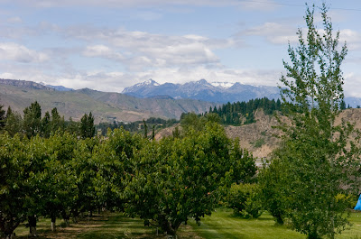 Orchards of Washington State apples growing in the Columbia River valley north of Wenatchee, with the Wenatchee National Forest in the background.
 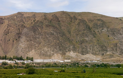 Light industry along the Columbia River valley north of Wenatchee.
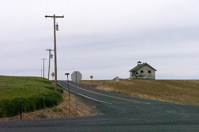 An abandoned schoolhouse surrounded by farmland on Road D S.W., a coulee.
 Road D N.W., along U.S. Route 2 in Douglas County, illustrates coulees.
A coulee, French for flow or a ravine, is a geological feature of rippled mounds, 30 feet high that crest every 200 to 300 hundred feet. Western Montana and all of Washington and parts of Oregon are covered with these unique gently rolling hills.
The geology is the result of an ice age phenomenon. As the glaciers withdrew from the top of what is now the United States, an ice dam formed and blocked melting ice. The resulting water backed up into what is now called Lake Missoula. The lake was up to 2,000 feet deep. The ice dam broke and water rushed towards the Pacific causing the ripples along the way.
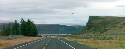 An Air Force C-17 Globemaster transport plane flies low over Banks Lake, Along Highway 155, from Coulee City towards Grand Coulee. This Mesa illustrates the second definition of a coulee; a ravine or a now dry geological feature caused by rushing water.
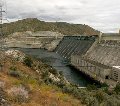
 The Grand Coulee dam blocks the Columbia River. It forms the 151-mile long Franklin D. Roosevelt Lake. The dam produces electricity and is used for flood control. It also diverts water, pumping it about 300 feet up, to a canal that feeds Banks Lake. Then through a series of other dams and canals it irrigates 500,000 acres of farmland.
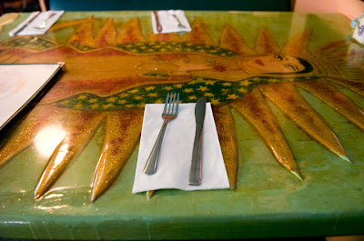 You know your eating in an authentic Mexican restaurant, just east of Electric City, when you have “Our Lady of Guadalupe” carved and painted into the table.
 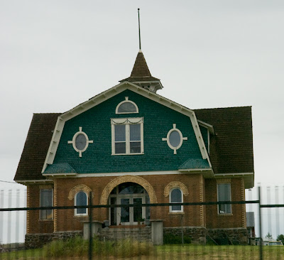 A farmhouse in eastern Washington.
“Thanks to the Interstate highway system, it is now possible to travel across the country from coast to coast without seeing anything," Charles Karault of CBS News once said.
 He’s almost right. However, at a safety/ brake check pullout above Coeur d’ Alene Lake.
 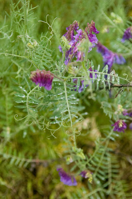 This is a short stretch through Spokane, Wash, to Idaho and into western Montana, where I had to drive on Interstate Highway 90.
 The Clark Fork River with a railroad bridge, along Montana route 155 that feeds the Flathead River.
 A roadside monument honoring a motor vehicle fatality along the road at the Flathead River.
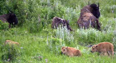 The National Bison Range, Montana.

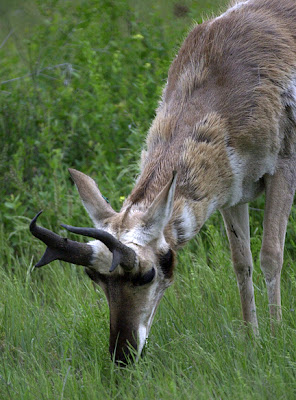 Prong Horn Antelope grazing at the National Bison Range.
 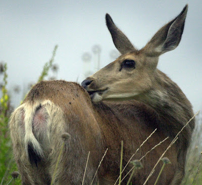 A mule deer at the National Bison Range.
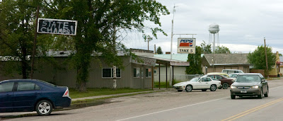 State Champ sign in Charlo, Mont., commemorating the 2005 Girls Class C Basketball team’s first trip to a state win.
 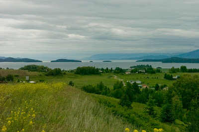 Overlooking the Flathead Lake.
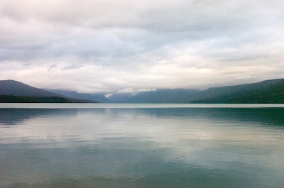 This is McDonald Lake in western Glacier National Park. The picture is similar to one Ansel Adams took more than 50 years ago.
 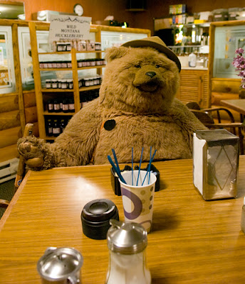 I arrived late and the café had closed, but I was able to convince the staff to make one of their sack lunches to go for me. I sat down with a stuffed bear at the coffee to go station.
 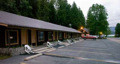 The season had not started; the “Road to the Sun” had not been fully opened, and may not be before repairs are completed in July. I was one of only a couple occupants at the lakeside motel.
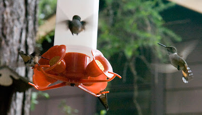
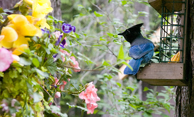 I had breakfast with the birds, a Blue Jay and a flock of Hummingbirds, only feet outside the café’s window.
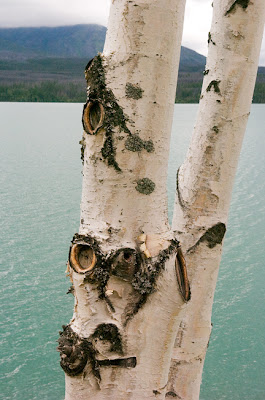 Aspen along the banks of McDonald Lake.
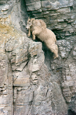
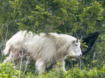 Mountain Goats are the mascots of Glacier National Park, at the Goat Lick overlook. They are as surefooted as claimed. Though they may slip a bit on the loose ground, they simply readjust and carry on as if nothing happened.
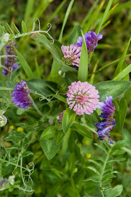
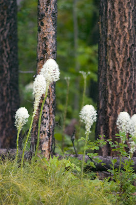 Mountain flowers.
 Standing wave, almond lenticular clouds over Glacier National Park seen from in front of the Museum of the Plains Indians in Browning, Mont.
  Lake Sherburne on the east side of Glacier National Park.
 The southern entry to the Blackfeet Nation at Birch Creek, on U.S. 89 displaying three national flags: U.S., Canadian and Blackfeet Nation, along with the State flag of Montana. Oh, do they need to read the flag code! At this location, at least, they had the flags in the correct order; the problem is the flags should all be the same size.
 Sculpture made of old auto parts.
 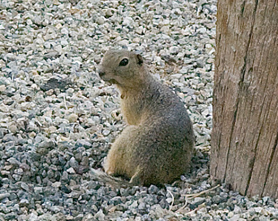 A prairie dog seeking shade at a roadside historical marker.
 Last light on U.S. 89 at Freezeout Lake, just north of Fairfield, Mont.
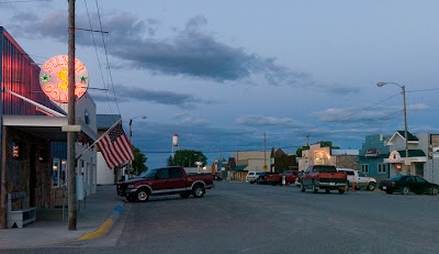 Fairfield’s main drag, Central Ave. East, at dusk, on Friday night.
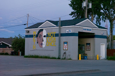
 A herd of camels in Fairfield.
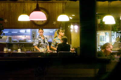 An all-night diner in Great Falls, Montana.
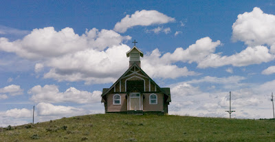 A hilltop church south of Great Falls, Mont., on U.S. 89.
No comments:
Post a Comment