The election is behind us. I’d had enough back in September. However, the presidential candidates kept coming and I kept photographing.
Election night and my back went into a slow motion spasm and on Saturday I was prone and immobile. All efforts to relieve it failed, So, it was off to a Chiropractor.
I postponed my annual road trip because of the intensity of the political season and the price of gas.
So what’s wrong with this picture?
I haven’t seen a TV news report or listened to a radio for nearly a week; I doubt I’ve missed anything earth shattering.
 Thursday evening, an eastern Arizona cloud prism.
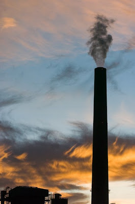 Sunset at the Cholla Power Plan near Holbrook.
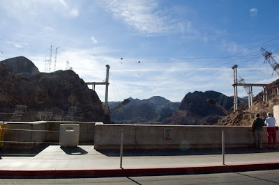 Approaching Nevada from Kingman, Arizona, there is some major road construction. The Hoover Dam Bypass of the Mike O'Callaghan-Pat Tillman Memorial Bridge is raising high above the dam.
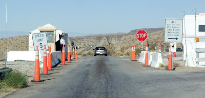 Since September 11, 2001, the dam has had heightened security and most trucks no longer are allowed to cross the two lane wide bridge.
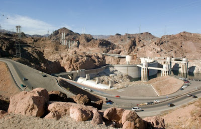 Police check points inspect vehicles on both sides before allowing traffic to snake their way down the Black Canyon and cross the 1936 era project.
The events of 9-11 were not the first to cause security measures. After the attack on Pearl Harbor, Hoover Dam was deemed a major potential military target.
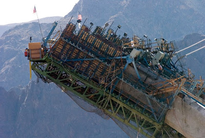 The bridge abutments are in place and reinforced concrete arches are being pored.
 At the upper right notch you might see a small white speck (click on picture to enlarge), it is a Desert Bighorn Sheep on the Nevada side of Hoover dam. It was part of a small herd trying to cross the road.
 By the time I could stop get out the big lens and go looking for the animals, this female appeared on the crest of a rocky hill about 100 feet above me and more than 100 yards away.
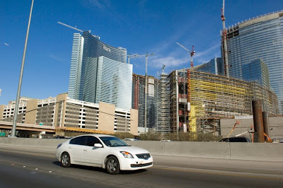 One might be hard pressed to believe that there has been an economic crisis brewing for years based on the amount of hotel construction going on in Las Vegas. Of course an argument about the Roman Empire’s demise being preceded by the distractions of bread and circuses repeating itself in the Strip might be made.
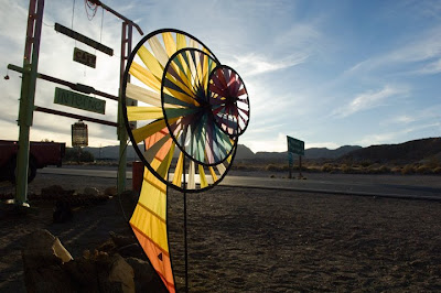 I had a very good crepe with avocado, organic and vegetarian, at this coffee shop in Shoshone, Calif.
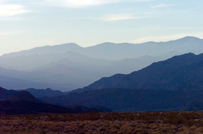 The mountain ranges pile on top of each other near the southeastern entrance to Death Valley national Park.
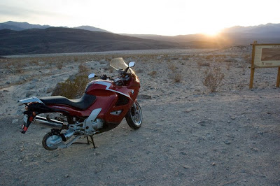 This has to be a real bummer, to have a flat tire or wheel problem over a hundred miles from the nearest motorcycle shop.
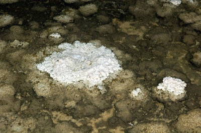 This encrustation is at Bad Water, Death Valley; the lowest point in North America, 282 feet below sea level. The white slash painted high on the rock wall, below, indicates sea level.
 With all my stops to photograph, I managed an average speed of 33 MPH from Kingman, Ariz. To Bishop, Calif. The next day wasn’t much better, between Bishop and the Sacramento area.
A barren Aspen grove in the Sierra Nevada range.
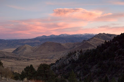 This is sunset in the Walker Valley as I passed over the eastside of the Sierra Nevada range. The road to Yosemite is already snowed in at Tioga pass, so I had to drive further north a couple of passes.
A couple of visits with my mother, I found her fine and doing well, at age 90.
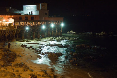
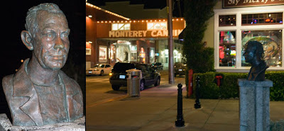 A bust of Author John Steinbeck is in the center of Cannery Row in Monterey.
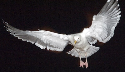 This gull flew in and watched politely as I had a sea food dinner along Cannery Row.
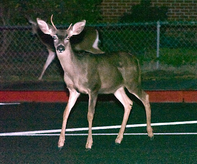 One of a small herd of deer at the Pacific Grove High School.
 The Carmel Inn has to have the best $79 room, off-season you know; 28 percent capacity last night. Over the bed was a very cool mural of shells bathed in soft blue light.
Now it’s down my favorite road in America -- Highway 1 along the Pacific coast.
Hopefully, I’ll find the Elephant Seals beached near San Simeon. It's raining, so we'll see what the pictures will look like.
1 comment:
Hey Mark, I am glad to see you finally took a well derserving break from the politica insanity and did some trip shots for a refreshing change.
It's also good for the body you know.
Hope you had a happy Thanksgiving.
By the way, my url for my photoblog changed if you want to update it on your link list:
http://buggsblog.com/
Take care!
Post a Comment